Elk
-
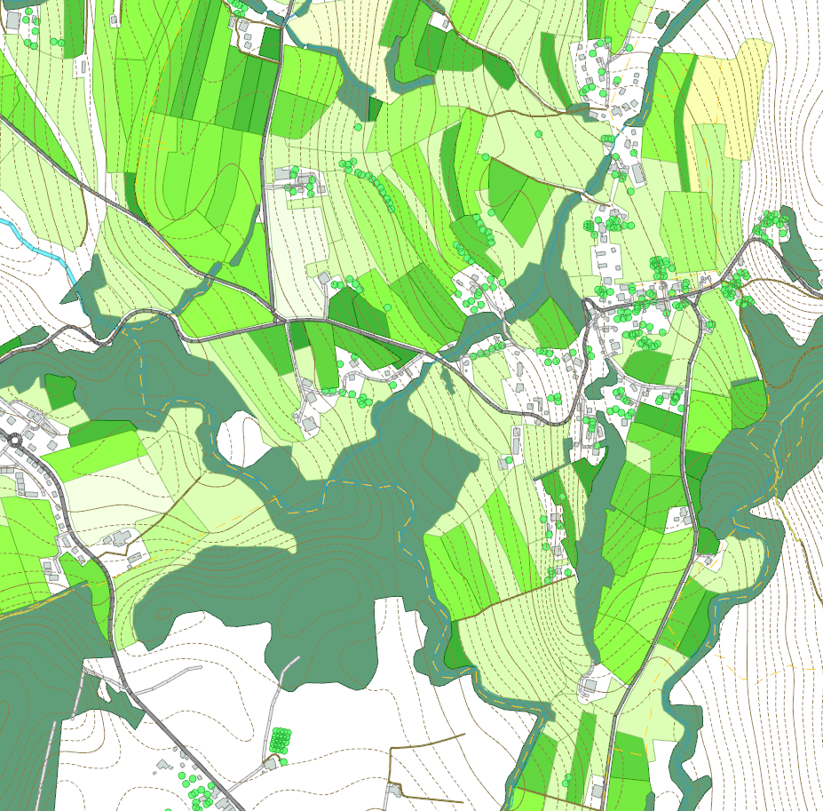
Adding Detail to a Region – Forests – Example 20.6
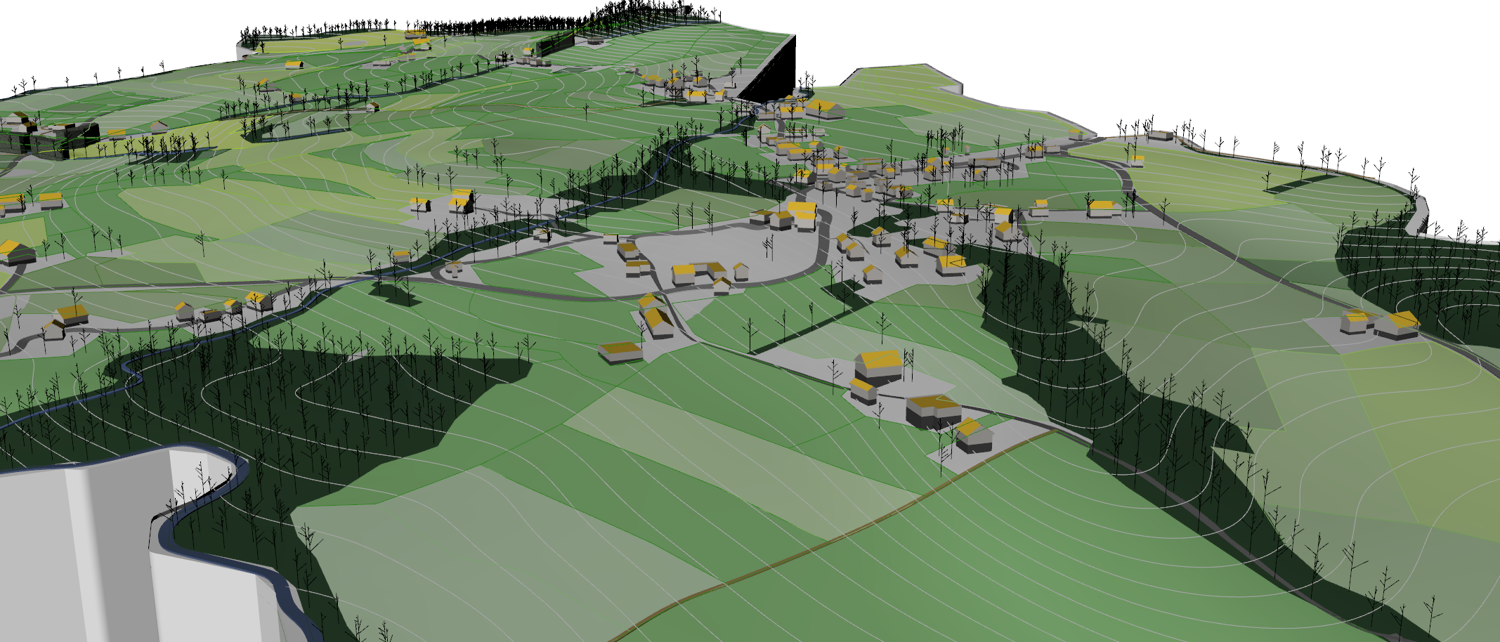
We may want to add some more detail to particular regions, such as the forests, instead of simply extruding a mass. Here, desire for detail or realism has to be balanced with overall performance of both grasshopper and Rhino itself. One particular aspect I’ve played around with a bit that creates a lot of modeling challenges…
-
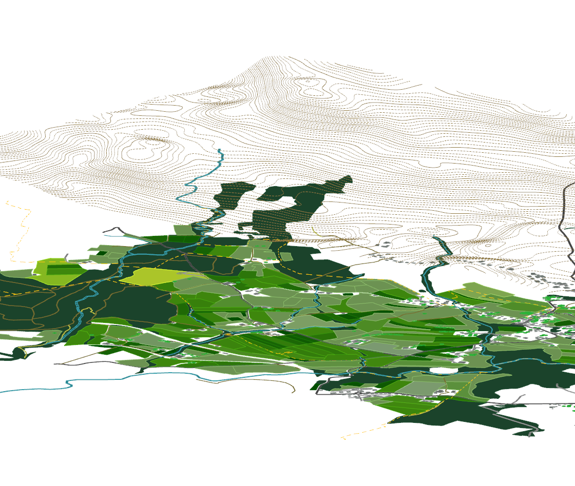
Projecting Surface Regions from OpenStreetMap Data – Example 20.5
So far, we have looked at projecting points in order to move buildings to our surface and projecting lines to form networks, such as for roads. Another category of geometry that can be imported and drawn in OSM are area regions, for example forests, fields, pastures (meadows), etc. While this example can’t truthfully be called…
-
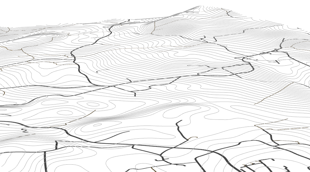
Creating Linear Network Geometry using OpenStreetMap Data – Example 20.4
Getting a linear network into 3 Dimensions can be very easy, depending on what your expectations are, but like every problem, starts to present complications the further you get into it. In this brief example, I will show some of the methods I am currently using on my models, although I’m looking for ways to…
-
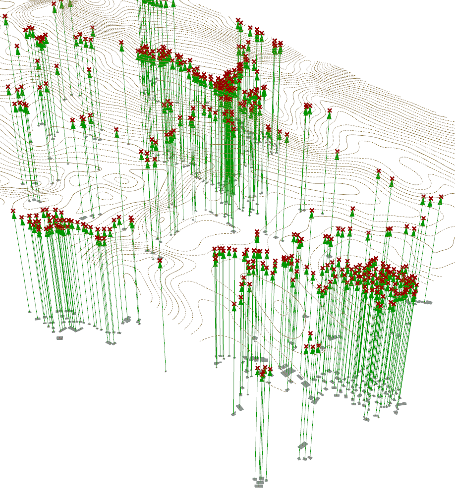
Projecting Geometry to Surface – Project Point – Example 20.3
To make your 2D information imported from Elk per Example 20.1 into a 3 Dimensional model, we will use various variations of the “Project” geometry components. The first one we will look at is “Project Point” and we will use this to move all of our building footprints to our topographical surface which we developed in…
-
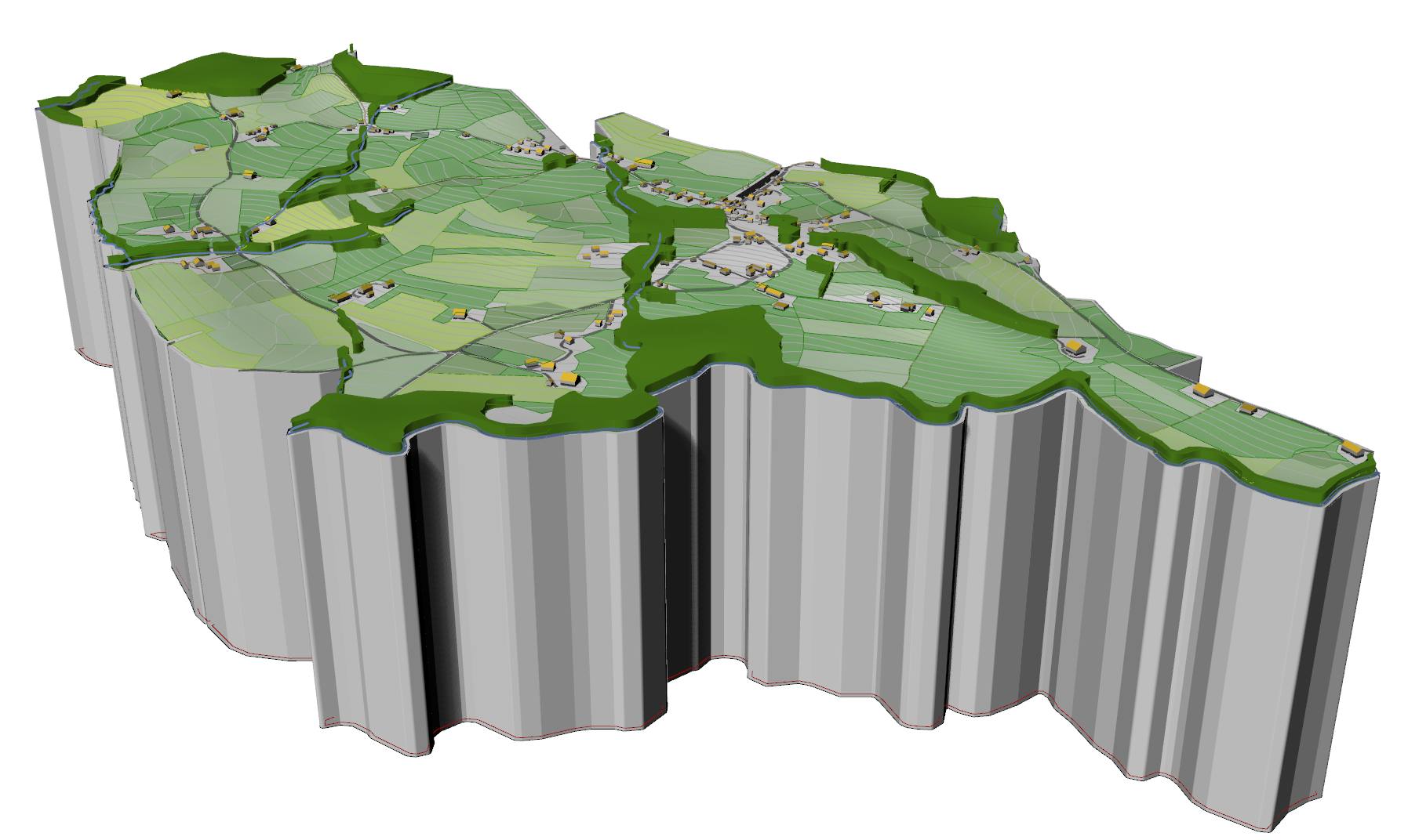
Adding Topography to the Site Model – Example 20.2
So you have a nice 2D document started and now you want to add some topography? Well, it is possible with Elk, and the process seems pretty straightforward at first, but unfortunately it is a little glitchy. There are ways to work around the glitches though, to generate a good base terrain for further steps…
-
2D Site Model from Open Street Maps – Example 20.1
One very useful add-on for Grasshopper is a plugin called Elk which can be downloaded for free from Food4Rhino. While it has some issues, which I will talk about when they come up, in general it is a very powerful tool. Basically what it does is it takes data from an open crowd-sourced mapping program,…