Terrain
-
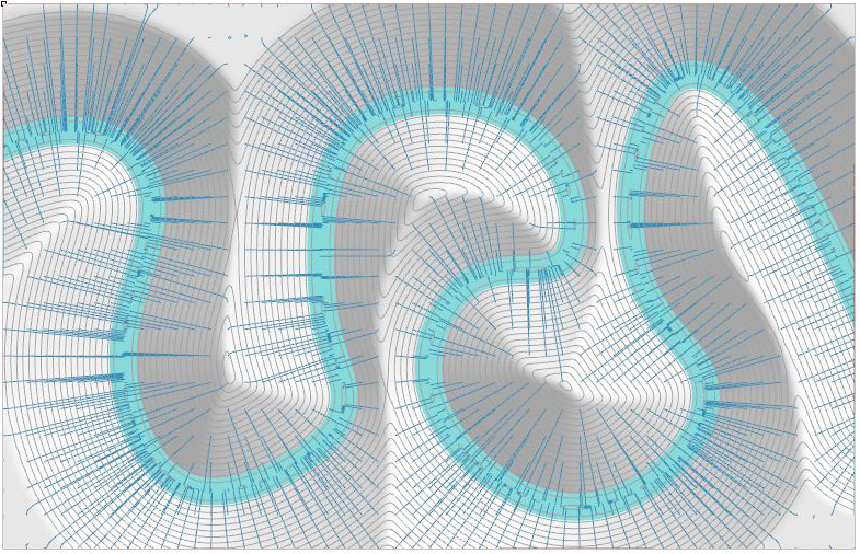
Changing Topography with a Curve Attractor – Example 4.5
Many of the examples we looked at in the 2D Patterns can be adapted to create geometry in 3 Dimensions. In this exercise, we use the same logic employed in the Curve Attractor Example to move a grid of points vertically to create a river valley. The logic here is pretty simple. The curve is sketched out…
-
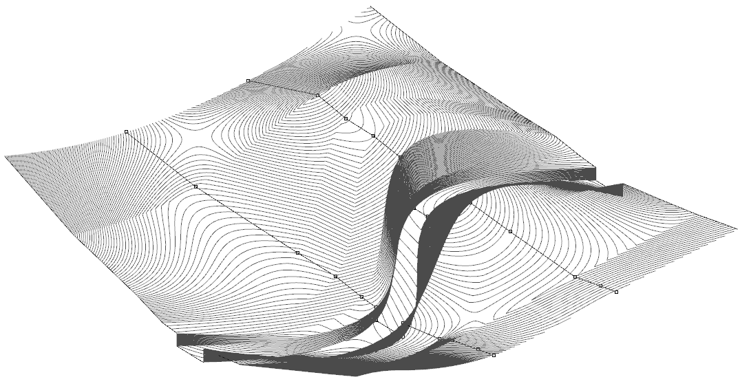
Creating Surfaces with Lofts – Example 4.4
Another common way to create surfaces is to use a tool known as the “Loft” These can be done in either Rhino or with Grasshopper, with the advantage that the Grasshopper surface is editable. The process for both is pretty much the same. Process – This method might be used if you were designing a…
-
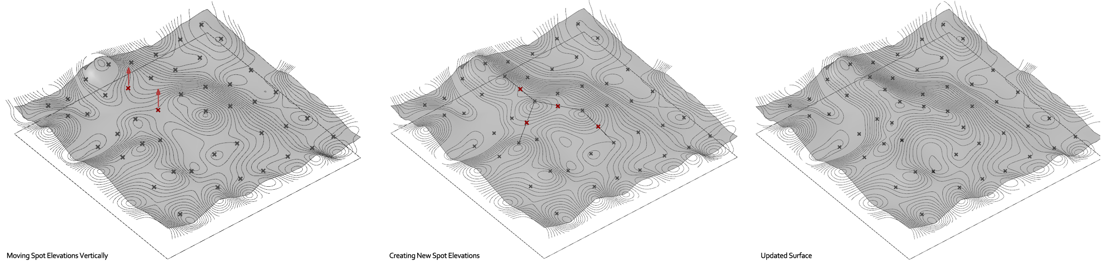
Creating an Editable Surface with Points – Example 4.3
In the Example 4.1 we looked at creating a surface with a Grid of Points in Grasshopper, and in Example 4.2 we looked at creating a Patch surface in Rhino. The problem with using the Grid surface component in Grasshopper is you need exactly a grid of points of this to work, but what if you have…
-

Creating a Surface from Contour Lines using Patch Surface – Example 4.2
Often you will start a project with existing topographical information in the form of contour lines in a CAD program. This will allow you to quickly and easily develop a 3D model in Rhino. Step One – Prepare your Contour Lines. You can import most CAD drawing formats directly into Rhino although some information will be…
-

Random Topography and Surface Analysis – Example 4.1
Moving on from 2-Dimensional patterns, these next examples show some tips on how to create and analyze surfaces in Grasshopper and in Rhino. Some can be made with control points (think spot elevations on a survey) and some can be created using curves (such as site sections, or contours). This one is created with a…